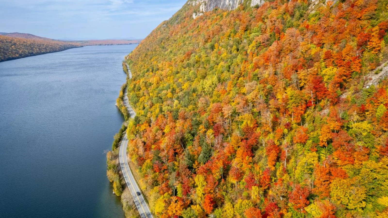
You are choosing between two October weekends and hoping one will bring peak fall foliage in Vermont. There is no single statewide date: color changes with region, elevation, and that year’s weather.
For broad planning, expect the first color in early September. Higher elevations usually show stronger displays by mid- to late September. A broad peak often falls around the last week of September and the first week of October. Lower valleys and southern areas can hold color later, often into mid- or late October. Treat these as planning windows, not promises for a specific weekend.
The uncomfortable truth is that a “peak foliage” forecast for all of Vermont can mislead you. One mountain pass may already be past peak while a nearby valley is still turning. Choose a region for your dates first, then use the state’s current report to fine-tune your route.
Table of Contents
- How Vermont’s Fall Color Moves
- Fall Foliage in Vermont: Typical Timing by Region
- How to Choose Dates for Your Trip
- Best Routes for Fall Foliage in Vermont
- Crowds, Lodging, and Weekend Trade-Offs
- Common Planning Mistakes
- A Practical Planning Timeline
- Vermont Fall Foliage FAQ
How Vermont’s Fall Color Moves
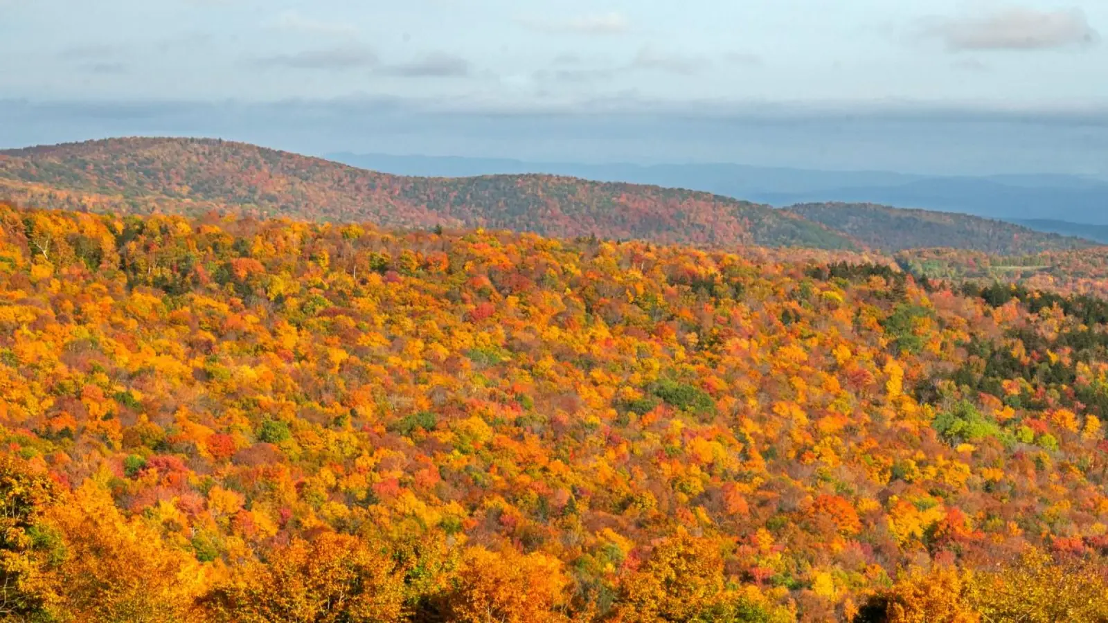
Fall color moves across Vermont at different times, so broad statewide dates are only a starting point.
Vermont’s foliage season is a progression, not a single event. Color usually appears first in the north and at higher elevations. It then spreads through central Vermont and the Green Mountains before reaching lower valleys and southern towns.
That pattern matters more than the calendar alone. A cool, elevated road can show strong color while trees near a river or village remain mostly green. A short drive can take you between both conditions. For that reason, a forecast for “Vermont” is too broad to plan a day around.
Early color is different from peak color
Early September can bring isolated yellow and orange leaves, especially in cooler or higher places. That can make a scenic drive pleasant, but it does not mean the hillsides are fully colored. By mid- to late September, higher elevations usually fill in more noticeably.
Vermont Tourism’s Foliage Forecaster describes this as a general seasonal pattern. It also cautions that exact timing changes from year to year.
Peak color is not a fixed number of days. Some hillsides look vivid before others nearby, and rain or wind can bring leaves down sooner. If you are traveling for photography, plan for a wider window and more than one viewpoint. Do not build the whole trip around one overlook.
Use the weekly report close to departure
Long-range forecasts help you choose a general week. They cannot confirm which road will look best on a specific day. During September and October, Vermont foresters publish a weekly report on how color is progressing around the state.
As of Oct. 14, 2026, the state report said most of Vermont was at or just past peak. It recommended Route 100 from Wilmington to Killington and Route 9 in southern Vermont. Check the official Vermont foliage tracker again before driving; rain and wind can change conditions quickly.
Fall Foliage in Vermont: Typical Timing by Region
Vermont Fall Foliage Timing by Region
The table below is a useful starting point for choosing a base. It groups locations into broad travel areas because foliage does not follow town boundaries. Elevation, tree mix, and yearly weather can shift the display, even between nearby roads.
| Planning window | Where to focus | What to expect |
|---|---|---|
| Early to mid-September | Northeast Kingdom and higher elevations | First hints of color; many lower areas remain green. |
| Mid- to late September | Northeast Kingdom, Stowe, and northern Green Mountains | More color in the hills and mountain corridors; valley displays may lag. |
| Late September to early October | Northern and central Green Mountains | A strong broad window, although higher slopes can turn earlier. |
| Early to mid-October | Central Vermont, Woodstock, and the Upper Valley | Color often moves through lower terrain as northern peaks begin to fade. |
| Mid- to late October | Southern Vermont and lower valleys | Later color may remain, but expect more variation and leaf drop. |
Why Elevation Changes Vermont’s Peak Color
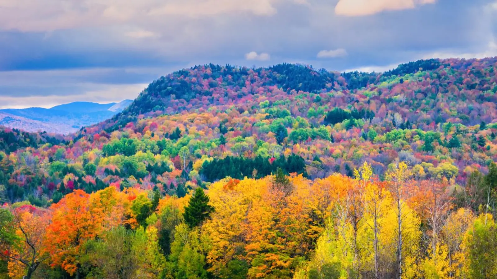
Higher slopes may change before nearby lower valleys, shifting the best viewing area as the season progresses.
Think of these periods as overlapping bands. The official forecaster places its broad peak pattern around the last week of September and first week of October. Its late-season phase continues into mid- to late October. Mountain peaks may be bare by then, while valleys still hold color.
Travelers with fixed dates should choose the region that tends to match their week instead of chasing a statewide “peak.” If you can travel only in late September, look north or toward higher ground. The Northeast Kingdom and northern Green Mountain areas are usually better bets than southern valley towns at that time.
For the first half of October, compare Stowe, central Vermont, and Woodstock against the current report. By mid-October, consider shifting south or choosing lower-elevation roads if northern slopes look past peak. This is a practical way to use seasonal patterns without treating them as guarantees.
How to Choose Dates for Your Trip
Choose Dates for Vermont’s Fall Foliage
For a short weekend, staying in one region is usually the calmer choice. Driving from the Northeast Kingdom to southern Vermont to “follow the leaves” can consume hours on two-lane roads. It can also leave little time to stop.
A longer trip can follow the color south, but only if each overnight base makes geographic sense. Before booking, decide which matters most: peak color, quieter roads, or a flexible trip. If peak color is the priority, accept that dates and lodging may be less convenient.
If calmer travel matters more, choose a weekday or a less-visited area. Treat the foliage report as guidance rather than a guarantee.
Best Routes for Fall Foliage in Vermont
Vermont Fall Foliage Routes by Region
The best routes for fall foliage in Vermont are not interchangeable. Route 100 gives you a long north-south drive through Green Mountain towns, while Route 108 crosses a dramatic mountain pass. Around Lake Willoughby, Route 5A frames the Northeast Kingdom; Routes 4 and 9 suit shorter regional drives. Choose a landscape that fits your dates and comfort behind the wheel.
| Route | Best fit | Trade-off |
|---|---|---|
| Route 100 | Green Mountain towns and a flexible scenic drive | Popular sections can slow down on peak weekends. |
| Route 108 | Stowe and Smugglers’ Notch mountain scenery | Not suitable for long vehicles; seasonal conditions matter. |
| Route 5A | Lake Willoughby and the Northeast Kingdom | Plan stops around marked pull-offs and available services. |
| Route 4 | Woodstock, Quechee, and the Upper Valley | Village and gorge stops can add time on busy days. |
| Route 9 | Southern Vermont, including the Wilmington area | It is a poor match if your dates favor northern Vermont. |
Route 100: choose a section, not the whole highway
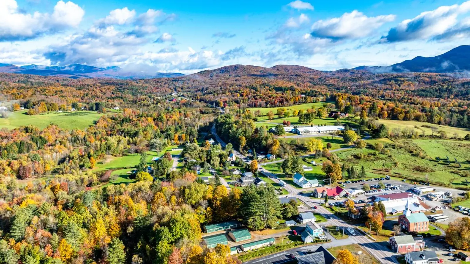
Pick one section of Route 100 and a few nearby stops instead of driving the entire highway in one day.
Route 100 is the easiest route to build around because it connects many of the Green Mountain towns visitors already want to see. Stowe, Waterbury, the Mad River Valley, and towns farther south all sit near this corridor. The Vermont foliage report also recommends sections around Wilmington and Killington when those areas are showing color.
For a day trip, choose a shorter stretch and add two or three stops nearby. A drive from Stowe through Waterbury toward the Mad River Valley gives you room to stop for a walk or a meal. Farther south, the Wilmington-to-Killington corridor works better when your base is already in that part of the state. Trying to cover the entire route in one day turns scenic time into windshield time.
Peak-weekend traffic can build near popular villages and photo stops. A line of cars moving slowly may be part of the drive, so leave space in your schedule. Use a marked pull-off or public parking area. Never stop in a travel lane to take a picture.
Route 108: add Smugglers’ Notch when conditions suit
Route 108 through Smugglers’ Notch gives a different experience from the open valley stretches on Route 100. It is a mountain pass between the Stowe area and Jeffersonville, so check the weather and road status before making it the centerpiece of your day. Vermont law bars single-frame motor vehicles over 40 feet and tractor units with attached trailers over 45 feet in total length from the Smugglers’ Notch segment. The state may also close the road during winter weather.
This route suits travelers in a standard car who are comfortable with mountain driving and have daylight to spare. It is a poor fit for a long RV or anyone uneasy on a winding pass. If the road is closed or the conditions do not feel right, skip the crossing and plan a separate drive on either side of the mountains.
Routes 5A, 4, and 9: match the drive to your region
Route 5A is a useful choice when your trip centers on the Northeast Kingdom and Lake Willoughby. The lake gives you a different view from a forested ridge, and the surrounding roads can make a compact day of driving. Pick a few legal places to stop before you set out. A beautiful shoulder is not automatically a safe or permitted parking spot.
For Woodstock and the Upper Valley, combine Route 4 with local roads around Quechee rather than treating the area as a quick detour from Stowe. This works well when your dates fall in early or mid-October, and when you want a village stop alongside the foliage. In southern Vermont, Route 9 offers a practical east-west drive through the Wilmington area. It is a better late-season option than a long return north to chase color.
Crowds, Lodging, and Weekend Trade-Offs
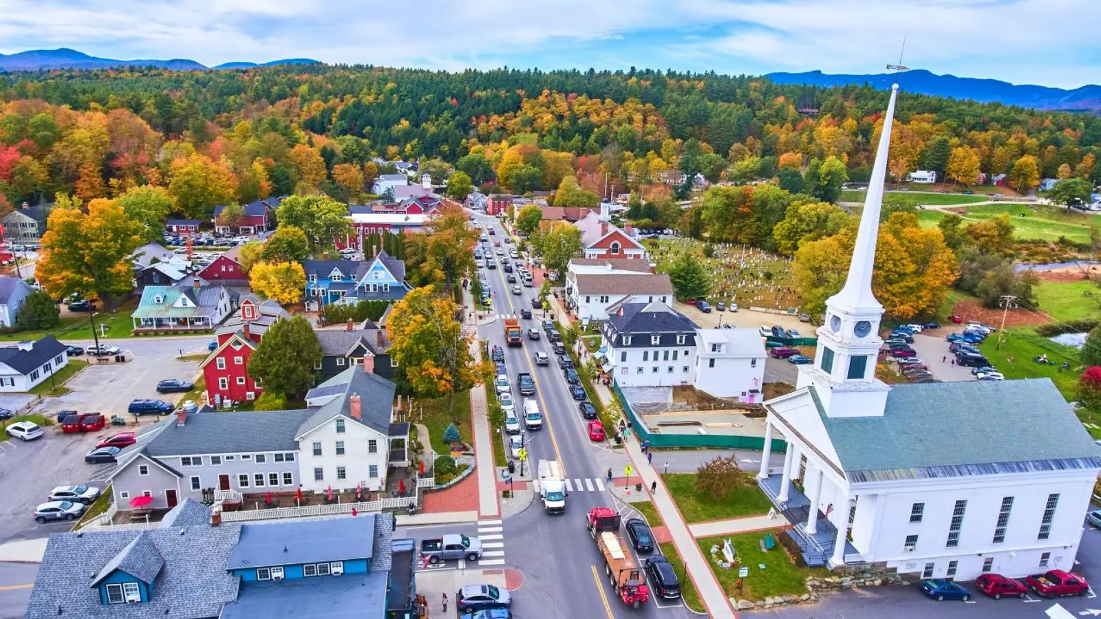
Traffic and parking can slow a foliage weekend, especially near popular village stops.
Foliage crowds gather around the same small villages, covered bridges, and overlooks that appear in guidebooks and social media. Stowe and Woodstock can feel especially busy during popular weekends. A short route on the map may take longer when drivers slow for views or wait for parking.
Make your lodging part of the route
Choose an overnight base near the region you plan to explore. A cheaper room far from your target area can add extra driving at the busiest time of day. It can also make dinner and a tired return drive harder than expected.
When your dates are fixed, compare the full trade-off: nightly cost, cancellation terms, distance to the route, and how much driving you want after sunset. Midweek stays often make it easier to avoid the heaviest weekend traffic. They do not guarantee empty roads, especially when the leaves are near peak and the weather is clear.
Plan stops that respect local roads
On a foliage weekend, do not assume every scenic bend has room for parking. Use signed lots and designated pull-offs, and follow temporary signs or local instructions. Never block a driveway, farm entrance, or emergency access. Some famous photo locations sit beside private homes or on narrow residential roads; a public road does not make private land a public viewpoint.
Families may find one well-chosen region easier than several long drives. Fewer car transfers leave more time for meals, restrooms, and short walks. Couples or solo travelers who want quieter roads can start earlier or choose a weekday. Budget-minded visitors can compare lodging outside the busiest village with the added fuel and driving time before booking.
The practical rule is simple: pick one main route, identify safe places to stop, and leave space for delays. A smaller number of relaxed stops usually makes a better foliage day than racing between every famous viewpoint.
If you’re adding New York City to a longer Northeast trip, use our guide to how many days in New York to decide how much time to reserve for the city.
Common Fall Foliage Planning Mistakes
The best time to see fall foliage in Vermont depends on region and elevation, so a calendar date is a starting point, not a promise. Choose a target area, keep a backup, and leave room to enjoy the color that is actually there.
Chasing one exact peak date
The whole state does not reach peak color at once. Northern and higher-elevation areas often change before southern valleys. Driving several hours south from Stowe to chase another forecasted peak can consume much of the day. That leaves less time for the places you came to see. Follow the latest regional update and choose the area that matches it. If the highest ridges are past peak, lower roads and nearby valleys may still have color.
Putting too many stops into one day
A route can look short on a map but take most of the day once traffic, photo stops, parking, and meals are included. Stowe, a full Route 100 drive, Woodstock, and a covered bridge do not make a relaxed day. Pick two or three nearby stops and save the next town for another day. Let the drive itself be part of the experience.
Assuming every viewpoint has parking
Fall photos draw visitors to narrow roads, farm entrances, and private land. Do not stop where a car blocks traffic or a sign prohibits parking. Mark public pull-offs before leaving and be ready to skip a crowded spot. Families with children should allow room to get in and out safely.
A Practical Vermont Foliage Trip Plan
Start with the kind of day you want, then use the latest regional update to choose a direction. A forecast helps you adjust, but it cannot guarantee how each tree or road will look.
Before booking: choose one home base
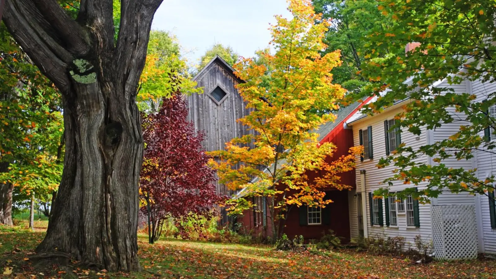
A quieter place to stay can suit a foliage trip when it also keeps your chosen route within easy reach.
Pick a town near the region you most want to explore. For a first visit, one base cuts down on packing, check-ins, and late-day driving. If your stay covers northern and southern Vermont, consider changing bases once instead of driving the state in both directions. Compare lodging by route distance, cancellation terms, food options, and the return trip after sunset.
If vivid peak color is your priority, a reasonable cancellation policy can be more useful than a slightly cheaper room that locks you into the wrong region. When dates cannot move, choose the region first and build the rest of the trip around it.
About a week before: check the current color
Check Vermont’s weekly foliage report and forecaster map before you leave. Compare the current color with your planned route. The updates can help you decide whether to focus north, south, or at a different elevation. They are planning guides, not exact forecasts for every roadside tree. Check weather and road conditions again before driving, especially if your route includes a mountain pass.
Save one main route and a nearby alternative. If a village is crowded or its color has moved on, you can shift to a nearby valley without crossing the state. Confirm where you can park and note a place for lunch or a restroom stop. This makes it easier to adjust if phone service is limited.
On the day: plan around three anchors
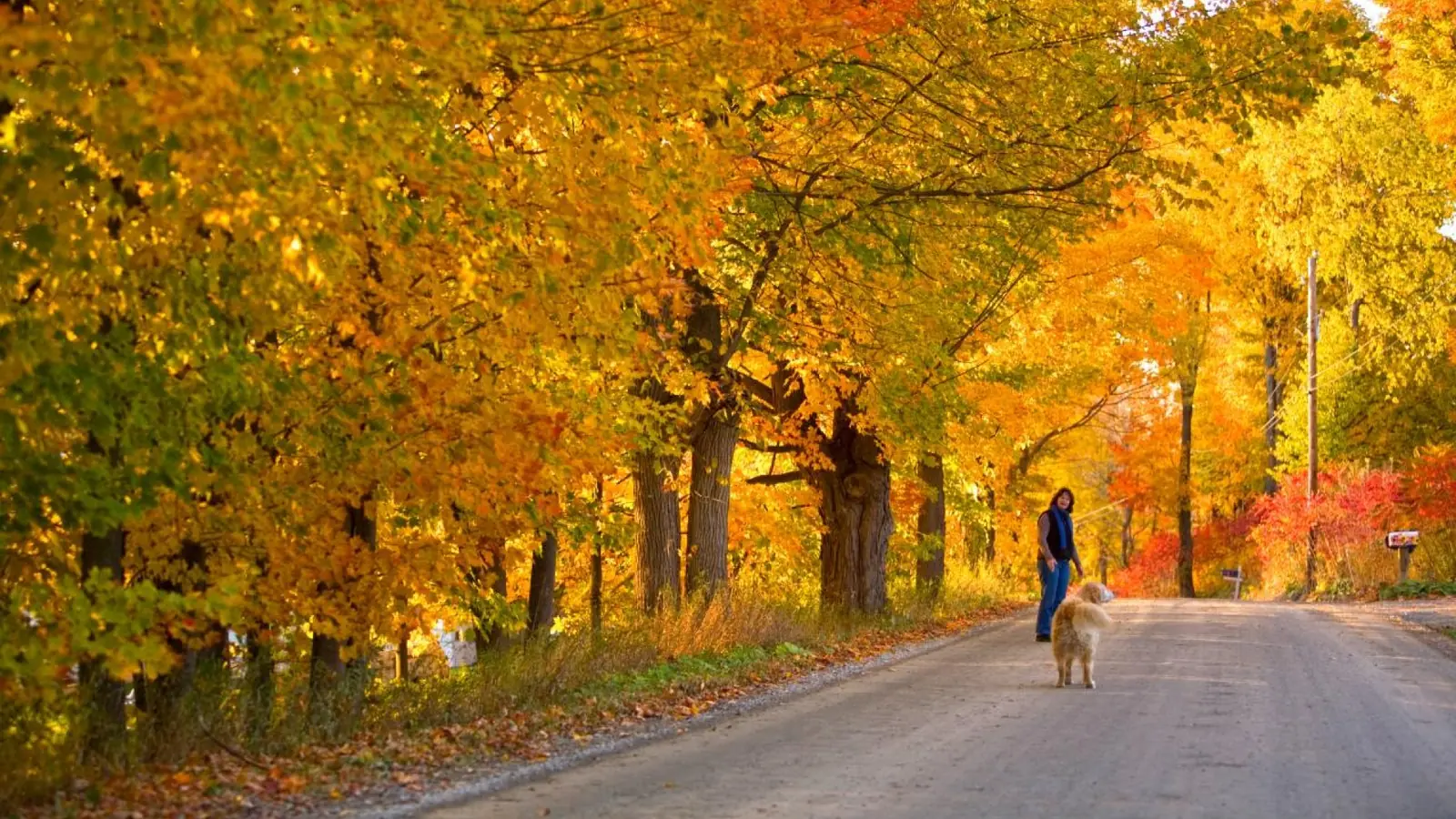
A short walk under autumn trees can provide an easy pause between scenic drives.
Build the day around a morning drive, a meal in one town, and a short walk or scenic stop in the afternoon. Leave gaps for traffic and unplanned views. Start early for easier parking, but do not try to make up time on winding roads.
Wear layers and shoes for damp leaves or an uneven path. Bring water, snacks, and a phone charger. If cloud or rain changes the view, have a nearby town, museum, café, or covered stop in mind. When a road is busy, continue to the next safe pull-off instead of stopping suddenly.
Match the itinerary to your available days
| Time available | A realistic approach |
|---|---|
| One day | Choose one region, one scenic road, and a few nearby stops. |
| Two days | Keep one base and explore two neighboring areas at an unhurried pace. |
| Three or four days | Split the trip between two regions only if the extra drive is worthwhile. |
For most first-time visitors, one base and a flexible daily route work better than collecting every famous view. Check the latest report shortly before departure, then let the region with the strongest color guide your final choice.
Fall Foliage in Vermont: FAQs
When is the best time to see fall foliage in Vermont?
The broad peak often falls from the last week of September into the first week of October. Timing varies by year, elevation, and region, so check the current weekly report before choosing a route.
Is October too late to see fall colors in Vermont?
No. Early October is often a strong time to visit, especially in central and southern areas. By mid- to late October, higher elevations may be past peak while some valleys still show color.
Can I see Vermont’s fall foliage without driving?
Some towns and attractions can be explored on foot, but scenic routes and rural viewpoints are spread out. Without a car, base your plans in one town and confirm local transport options before booking.
Are weekdays less crowded than weekends?
Weekdays can make popular villages and roads easier to navigate, but they do not guarantee quiet conditions. On a weekend, start earlier and avoid packing several famous stops into one day.
What should I do if peak color has passed?
Shift your attention to lower elevations, valleys, or southern areas that may change later. You can still enjoy scenic drives, covered bridges, village walks, and local meals.
For your first trip, choose one base near current color, check the weekly report before leaving, and keep one nearby route as a backup.